Abstract
Production and Routing of Surface Meltwater on the Greenland Ice Sheet Ablation Zone
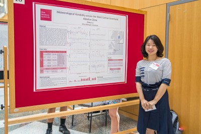 Student: Dianyi Li
Mentor: Nathan Rowley (OWU Department of Geography)
I’m studying how Greenland Blocking Index(GBI) correlated with the climate factors such as temperature, solar radiation, and wind speed and direction in west central Greenland area, the Jakobshavn Ablation Region (JAR). By processing these two types of data set through Matlab, it reveals a positive relationship between GBI and climate variables. Then it can be assumed that the phase of Greenland Blocking Index is related to the high or low melt year and influence the lake melt in west central Greenland.
The melting period, June, July and August (JJA), along the west-central Greenland ablation zone represents a period of maximum melt lake occurrence. Greenland Blocking Index (GBI) are expected to be able to influence this melt occurrence. When GBI is in a very high positive phase, it can be perceived that the melt lake area comes into an anomaly high melt years. This study combines automatic weather station data acquired from the Greenland Climate Network, and synoptic-scale atmospheric, Greenland Blocking Index (GBI), to assess how the atmospheric indices influence the local climate variables and influence circulation patterns further on total melt lake area in the Jakobshavn Ablation Region (JAR). In this work, five stations (Crawford Point 1, Swiss Camp, JAR1, JAR2, and JAR3) in the Jakobshavn Ablation Region (JAR) are picked up for temperature, wind speed and direction, solar radiation and other atmospheric data. By plotting June, July and August (JJA) average temperature with JJA GBI, results of four stations reveal positive correlations between the atmospheric indices and local climate variable.