High-Flying Research
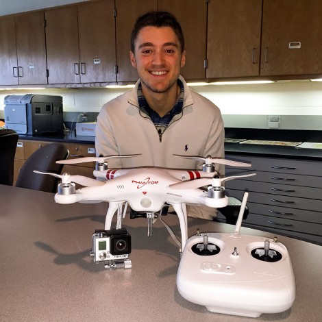
Christian Gehrke ’15 is using a drone to conduct geography research with professor John Krygier. (Photo by Karson Stevenson ’16)
Christian Gehrke’s constant companion these days is small, loud, and on the cutting edge of technology. But the Ohio Wesleyan University senior isn’t complaining. His companion is the DJI Phantom I drone complete with a modified GoPro digital camera.
Gehrke was talking with geology and geography professor John Krygier, Ph.D., last year about an out-of-the-classroom project, when opportunity fell into his lap.
“While we were discussing possibilities, Dr. Krygier said something along the lines of, ‘So, I’ve been looking into drones.’ Naturally, my ears perked up, and we began talking about the possible applications and how personal drones are becoming more and more useful,” Gehrke says. “So I was tasked with doing research into different drone and camera types, and we ended up choosing this one.”
At the time of their discussion, Gehrke had recently become Krygier’s advisee and was enrolled in the professor’s “Power of Maps and GIS” and “Cartography and GIS” courses. Gehrke also was planning to take Krygier’s “Geographic Information Systems” in spring 2014 and thought he’d be a good candidate for drone manager. Gehrke also had just applied to be Krygier’s 2014-2015 StAP (Student Assistantship Program) worker – and since has been hired for the paid position.
So far the drone’s activities have included taking multiple aerial images that have been stitched together and enhanced by “georectifying” using ArcGIS software. Gehrke says georectifying attributes geographic coordinates across points on an image that allow people to gather up-to-date imagery and then use it for a multitude of purposes.
The drone also been helpful in bringing additional environmental awareness to the community, he says. It is equipped with a modified GoPro camera with a special lens that picks up infrared light. This has allowed the drone to be used to examine help vegetation to determine whether it is diseased.
Gehrke hinted at the possibility of adding a thermal camera, enabling the department to find possible points of heat loss around campus. Regardless, he says, future applications for the drone are exciting.
“We are just figuring out all of the different possible applications for a drone,” Gehrke says. “We are hoping to get an upgraded model soon with a number of improved capabilities, which will allow us to explore many more options.
“We are also planning on doing a collaboration with Geoporter, an organization currently operating primarily in Costa Rica,” Gehrke continues. “They help educate communities on how to use geospatial technologies in order to make those communities more sustainable. The program is headed by an alumna of OWU, Amy Work ’04, and we hope to be able to further their efforts by using drones.”
Learn more about Ohio Wesleyan’s Department of Geology and Geography at https://www.owu.edu/academics/departments-programs/department-of-geology-and-geography/.